Convert
Transform supported 2D layouts and engineering information into interactive spatial environments.

LOCUS converts engineering drawings and layouts into interactive 3D environments for visualization, navigation, and field coordination. Built to work alongside  's drawing intelligence capabilities, LOCUS helps teams move from static drawings to spatial views
Transform supported 2D layouts and engineering information into interactive spatial environments.
Represent facilities, equipment, routes, spaces, and engineering context in 3D / 360° views.
Explore layouts, locations, equipment zones, and spatial relationships interactively.
Link spatial views with drawings, extracted data, assets, reports, and engineering records.
Convert complex engineering layouts into interactive spatial views.
Help engineering, installation, maintenance, and operations teams understand context before work begins on site.
Make drawing information easier to consume.
Create a common visual reference across teams.
Minimal setup. Visual at every stage. Built to fit into your existing workflow.
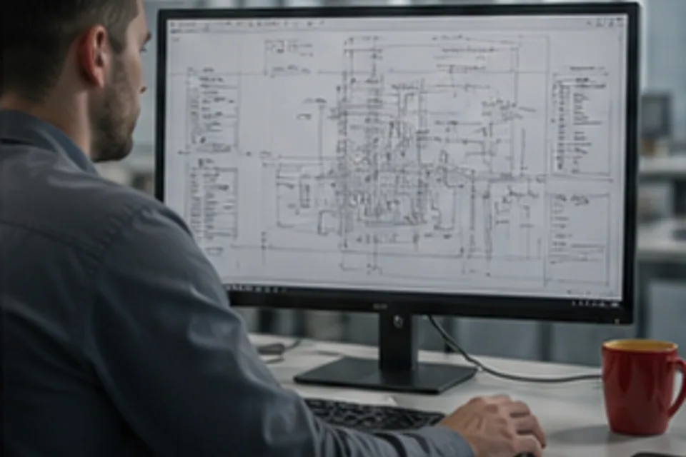
Upload 2D engineering drawings directly or pipe them from  analysis — any format.
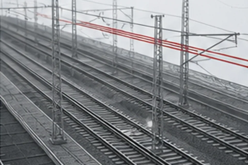
LOCUS automatically converts the 2D layout into a fully navigable 3D digital twin environment.
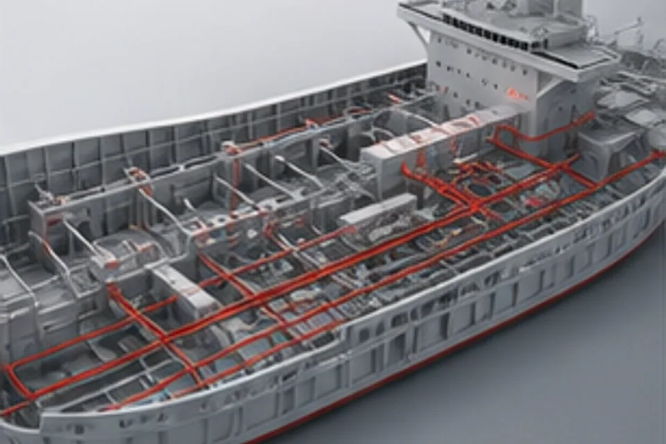
Overlay critical data — cable routes, lengths, clearances, equipment specifications — on the 3D model.
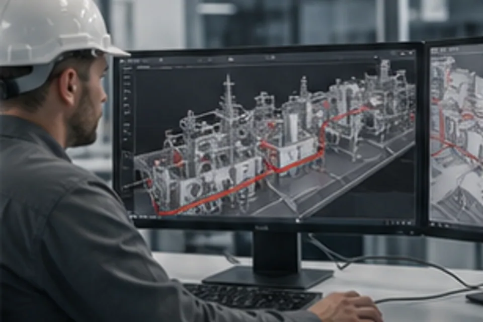
Navigate designs in browser. Share with teams, identify clashes and validate layouts before physical build.
No. LOCUS converts your existing 2D engineering drawings into 3D environments automatically — no new modelling or CAD work required.
Yes. You can upload drawings directly to LOCUS. It also integrates seamlessly with for an end-to-end pipeline.
LOCUS provides a browser-based interactive viewer. Exports are available for common 3D formats and standard PDF reports.
Yes. LOCUS can be deployed on-premise or in a private cloud for defence and regulated programme requirements.